Bihar Floods: Why Every Year?
Why in News?
Recently, due to heavy rainfall in the catchment areas of Nepal, the water level of the Gandak River rose sharply. This led to embankment breaches in several parts of Bihar, especially in West Champaran. Even floodwater entered many villages in Saran, Gopalganj, and Muzaffarpur after fresh breaches in Gandak embankments and dams.
Bihar is India's most flood-prone state. In North Bihar, nearly 3 out of 4 people live with the threat of severe floods every monsoon. For families who depend on farming or daily wages, the trouble doesn't end when the water goes down. A flood like this means months of lost income, damaged fields, and children's schooling getting disrupted.
Flood in Bihar
Bihar is hit hard by floods every year. Millions are displaced and livelihoods are disrupted. The region is geographically vulnerable, and flood control measures have not been effective enough, which makes the problem worse every monsoon.
History of Floods in Bihar
Floods have happened in Bihar for centuries, but in recent decades they have become much more frequent and intense.
Some of the worst floods:
2008 Kosi Flood: The biggest in recent history. The Kosi breached its embankment at Kusaha in Nepal and submerged a vast area. Over 3 million people were affected and more than 1 million displaced. Huge loss of property and livelihoods.
2013 Flood: Affected over 5.9 million people across 3,768 villages in 20 districts.
2017 Flood: One of the most devastating. North Bihar was completely submerged. 514 people lost their lives, and over 17 million people across 19 districts were affected.
Why Bihar Floods Every Year (Geographic Reasons):
| Close to the Himalayas: | North Bihar lies just downstream of Nepal. Big rivers like Kosi, Gandak, Bagmati originate in the Himalayas and flow directly into Bihar, bringing huge volumes of water. |
| Heavy Silt: | These are young Himalayan rivers. They carry a lot of loose soil and sand. When rainfall increases, this silt fills the riverbed and water overflows. |
| Flat Land: | Bihar's plains are very flat, so floodwater cannot drain quickly. It stays for days and causes long waterlogging. |
| Chaurs (low-lying areas): | There are many natural low-lying areas called Chaurs, which remain waterlogged permanently, making drainage even harder. |
| Problem with Embankments: | Embankments built on rivers like Kosi have narrowed the natural channel. These traps silt inside, make the riverbed shallower, and increase the chance of breaches and overflow. |
Main Causes of Floods in Bihar:
| Heavy rain in Nepal: | Most flash floods start with intense rainfall in Nepal's Himalayan region. All that water drains into Bihar's rivers. |
| Rivers overflowing: | In monsoons, snow-fed and rain-fed rivers like Kosi and Gandak swell and breach their banks. |
| Embankment failures: | Old and weak embankments often collapse under pressure, making flood damage much worse. |
| Waterlogging from small rivers: | Encroachment on natural drains and heavy siltation blocks small rivers, leading to stagnant water. |
| Water release from barrages: | Sudden release of water from barrages in Nepal, like the Kosi barrage, suddenly raises water levels downstream in Bihar. |
Which Rivers Cause Floods in Bihar?
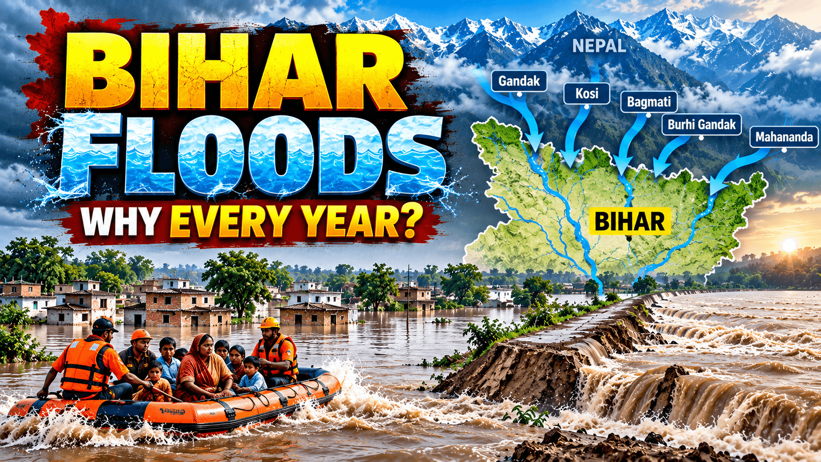
In North Bihar, floods are mainly caused by Himalayan rivers that come from Nepal:
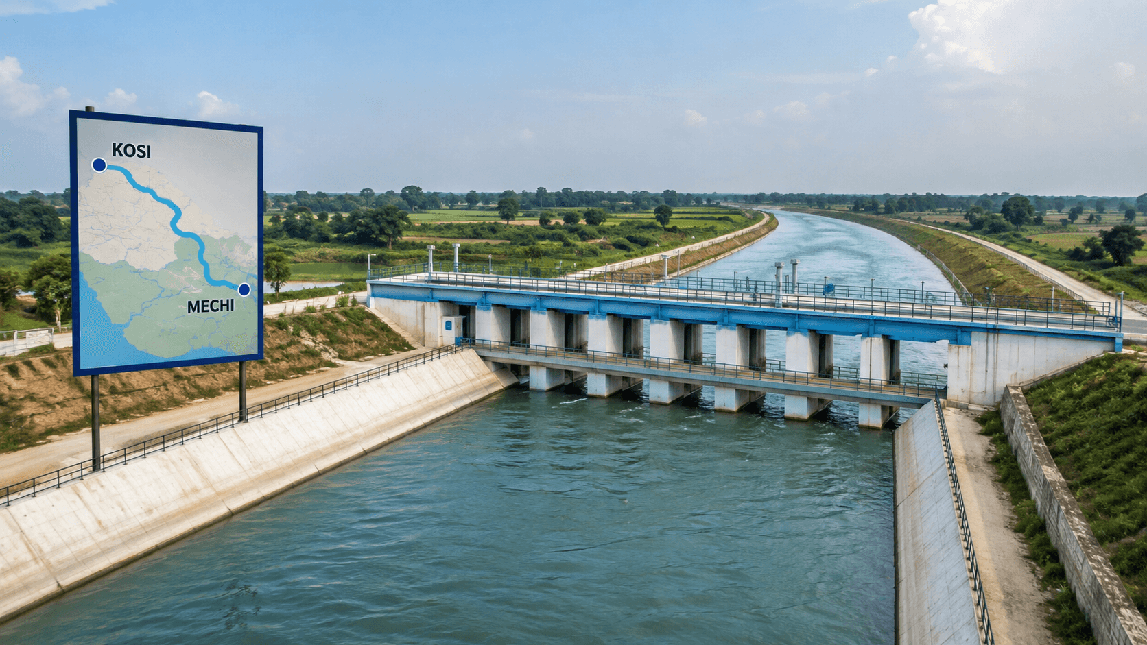
Kosi River, often called the "Sorrow of Bihar." Apart from it, the Gandak River, Bagmati River, Burhi Gandak River, and Mahananda River cause flooding in Bihar.
During monsoons, these rivers carry huge amounts of water and silt, leading to severe flooding. Even South Bihar is now becoming flood-prone due to rivers like Son, Punpun, and Phalgu.
Flood-Prone Areas in Bihar
Flood-prone areas are spread across both North and South Bihar, but North Bihar is the most vulnerable. Multiple rivers from Nepal flow through this region.
Districts that are regularly hit by floods: Supaul, Saharsa, Madhubani, Darbhanga, Muzaffarpur, Sitamarhi, East Champaran, West Champaran & Khagaria.
These districts lie close to river basins, so they are easy targets when rivers overflow in monsoon. Apart from North Bihar, southern districts like Patna and Gaya are also now getting affected by floods.
About Gandak River:
The Gandak River, known as Narayani in Nepal, is a major Himalayan transboundary river and an important tributary of the Ganga.
Origin and Course: It originates near the Tibet-Nepal border, flows through Nepal's Mustang region, crosses the Indo-Nepal border near Triveni Dham, and enters Bihar near Valmikinagar.
In India, from Valmikinagar, it flows through the plains of Bihar and UP, passing through West Champaran and other North Bihar districts, before finally joining the Ganga near Hajipur-Sonepur (Harihar Kshetra). The Gandak River has a total catchment area of 29,705 sq km.
Major Tributaries: Kali Gandaki, Trishuli, Budhi Gandaki, Marsyangdi, Seti, Madi, and Daraudi.
Valmikinagar Barrage: Located near the Indo-Nepal border, this barrage is key for irrigation and regulating Gandak water. During heavy monsoon rain in Nepal, huge inflows here cause high discharge downstream and lead to floods. Valmiki National Park and Tiger Reserve in Bihar is situated on the banks of the Gandak River.
Ecological Importance: The Gandak supports wildlife like gharial, Gangetic dolphins, and turtles and sustains agriculture, settlements, and cultural life along its banks.
The Gandak River has been declared as National Waterway-37 (NW-37). The stretch from Bhaisalotan Barrage to the confluence of Gandak and Ganga at Hajipur in Bihar was notified as a National Waterway under the National Waterways Act, 2016, along with 111 other waterways in the country.
Way Forward to Handle Floods:
1. Integrated Flood Management: Only building barrages, dams, and embankments is not enough. It must be backed by strong early warning systems and quick response teams.
2. Work with Nepal: The long-pending proposal for a high dam on the Kosi needs diplomatic push and close cooperation with Nepal to manage water upstream.
3. Strengthen Embankments: Regular repair, modernization of embankments, and widening of river channels to handle silt will reduce breach risk.
4. Non-structural Measures: Better flood forecasting, risk-reduction policies, disaster management training, and community awareness are key to preparedness.
5. Rehabilitation: Families trapped between embankments face displacement every year. Sustainable resettlement options for them are needed to stop this cycle.
Conclusion:
Flooding in Bihar is not just a natural disaster but a recurring crisis due to its geography, Himalayan rivers, heavy silt, flat terrain, and embankment failures. It causes huge loss of life, livelihood, and property every year, especially in North Bihar. A permanent solution needs a mix of structural steps like dams and embankment strengthening, plus non-structural measures like early warnings, better planning with Nepal, and rehabilitation of vulnerable communities. Managing floods effectively is key to Bihar's growth and security.