


Floods
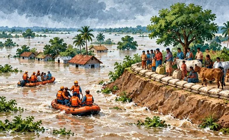
- The south-west monsoon brings the maximum rainfall in the state, lasting from June to September, and often causes flood-like situation, especially in the northern districts.
- Bihar is India's most flood-prone state, with 76% population in the North Bihar living under the recurring threat of flood devastation.
- Bihar makes up 16.5% of India's flood affected area and 22.1% of India's flood affected population.
- About 73.06% of Bihar's geographical area, i.e. 68,800 square kilometres (26,600 sq mi) out of 94,160 square kilometres (36,360 sq mi), is flood affected.
- On an annual basis, they destroy thousands of human lives apart from livestock and assets worth millions.
- North Bihar districts are vulnerable to at least five major flood-causing rivers during monsoon – Mahananda River, Koshi River, Bagmati River, Burhi Gandak River and Gandak – which originate in Nepal.
- Some south Bihar districts have also become vulnerable to floods from Son, Punpun and Phalgu rivers.
- According to data from Economic survey 2019-20, more than 149 lakh population of Bihar was affected by flooding and it resulted in the loss of 300 lives, and crop production loss of 446.6 crore Rs.