


EDU TERIA Logo
CartSign InSign UpEnroll Now
Back Science & Technology
BPSC Mains GS-2 Masterclass · Science & Technology

Bihar's Water ResourcesAbundant Water, Used Unwisely

Bihar has generous rain, the Ganga and its great tributaries, and deep alluvial aquifers. Yet some of its districts face drought, its cities' water tables are falling and most of its ponds have vanished. This page shows what Bihar has, how it is being wasted, and what is being done.

Rain~110 cmAverage annual rainfall

Purnia and Kishanganj about 200 cm.

Monsoon85%+Monsoon share

of rain, June to September.

Groundwater45.8%Groundwater extraction

against the all-India 63.3%.

Ponds70%+Water bodies dead

in three decades (satellite data).

Decline2.5 lakh → <90,000Ponds

since the late 1980s.

Sewage290 MLDPatna's sewage

half flows straight into the Ganga.

Part 1 · Water resources in Bihar

Bihar's Water Wealth and Its Uneven Rain

Abundant surface and groundwater, but rain that comes in four months, falls far more in the north than the south, and is changing with the climate.

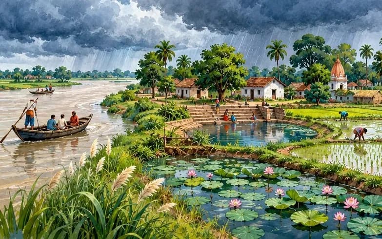
Illustration of a north Bihar landscape with a wide river, a village pond, paddy fields and monsoon clouds

Water resources in Bihar

  • The state of Bihar is endowed with abundant surface and groundwater resources, enough to meet the growing demands of different sectors such as agriculture, industry, household, and environment.
  • Though water is considered as a renewable resource because of regular replenishment by the rain spells, the growing population and indiscriminate development is inducing stress on the natural water ecosystems.
  • Bihar is also prone to excessive flooding, where more than 70 percent of the population are living under the constant threat of floods.

Rainfall

  • Average annual rainfall in Bihar is around 110 cm with Purnia and Kishanganj getting around 200 cm annual rainfall.
  • The climate change altering the patterns of precipitation around the globe is also a challenge for Bihar.
  • More than 85% of rain is due to the south-west monsoons, occurring during the four months of June to September.
  • Besides temporal variations, the rainfall distribution is also uneven across the districts of Bihar, as they fall under different agro-climatic zones. The agroclimatic Zones I (North-West) and II (North-East) form the wet zones in the state, which receive higher proportion of rainfall compared to the dry zone in the southern part of the state.
    • During 2018-19, Kishanganj received the highest annual rainfall of 152 cms, while the lowest rainfall was observed in the district of Jehanabad (403 mms.).
    • In case of south-west monsoons, there is no uniform distribution of rain as it varies from 1581 mms. in Kishanganj to 545.4 mms. in Arwal during 2019.
  • The lower intensity of rainfall in the southern districts is a cause of concern for groundwater level, compared to the northern counterparts. Such extreme rainfall variability in the state over time and space leads to low crop yields and the risk of crop failures in both flood and drought-prone areas.

Highest vs lowest district rainfall, 2018-19 (mm)

  • Kishanganj1,520 mm
  • Jehanabad403 mm

Kishanganj: 152 cm.

South-west monsoon rain, 2019 (mm)

  • Kishanganj1,581 mm
  • Arwal545.4 mm
“The state of Bihar is endowed with abundant surface and groundwater resources, enough to meet the growing demands of different sectors.”
— BPSC Mains answer · Water resources of Bihar

Curated for BPSC, UPSC & State PCS Civil Services Aspirants | Science & Technology Master Module