


Regional development involves
- Identification of region: e.g. Hilly areas, Coastal areas, Social backward areas, Flood prone region, Earthquake region, Landslide region etc.
- Mapping and listing of resources available in the region:
- Land resources, Fertility check, Topography, Water resources, location, Forest, Minerals, Energy sources, Capital and Demographic dividend.
- Mapping and listing the problems existing in the region:
- Resources scarcity, Locational disadvantage, Inaccessibility of port etc, Lacking basic infrastructure, Environmental problems, Population density, Unemployability, Religious intolerance, Social instabilities, Low capital formation.
- Policy and Regional planning for the even development of different regions. It should involve participation of people of that region.
- Short term planning such as: five years plan, 3 years plan, one year plan.
- Long term planning: 15 years plan, 20 years plan, 50 years plan.
- Evaluating the environment, social and political effects of planning.
- Budget provision for the envisaged programs like for setting up industries, higher investment in infrastructure and social services etc in the peripheral areas.
- Implementation of the programs; Mid time review; Policy and implementation changes based on the mid-time review.
- Improving Governance and institutional capabilities to remove the obstacles.
- Feedbacks from Public, NGO, experts etc.; Impacts Analysis.
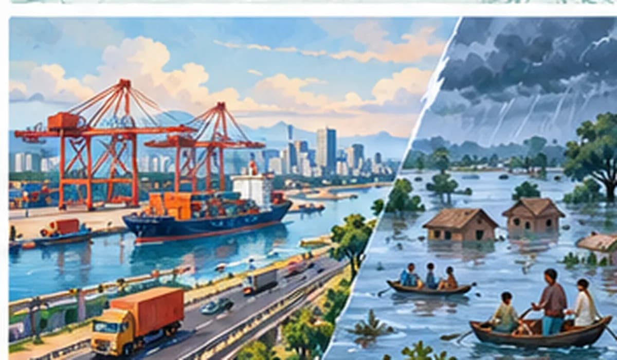
Example: For a flood-prone district like Darbhanga: identify it as a flood region, map its rivers and fertile land, list its problems (floods, no industry, migration), plan embankments and agro-units, fund them, review midway, and correct course.