3 Indian Space Companies for Satellite-Based Urban Mapping
Eduteria Insights · 17 Nov 2026
Why in News?
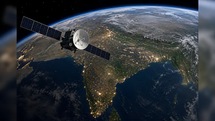
The Indian National Space Promotion and Authorization Centre (IN-SPACe) has selected three Indian space companies to develop high-resolution satellite-based maps of human settlements across Indian cities.
The initiative aims to improve urban planning by providing accurate information about building types, heights, and built-up areas.
Which Companies Have Been Selected?
Under its Seed Fund Scheme for Use Case Demonstration by Non-Government Entities (NGEs), IN-SPACe has selected:
SpacePixxel Technologies
KaleidEO Space Systems
Azista Industries
These three companies will collectively receive ₹1.46 crore in seed funding to develop an indigenous satellite-based mapping system.
What Is the Indian Human Settlement Layers (IHSL) Project?
The project aims to develop High-Resolution Indian Human Settlement Layers (IHSL) using Earth Observation data and monocular satellite imagery.
It will generate three major types of information:
Built-up Surface and Building Type: Identifies constructed areas and different types of buildings.
Building Height: Provides information about the vertical dimensions of buildings.
Built-up Volume: Estimates the overall built-up volume of urban areas.
This information will help authorities understand how cities are expanding horizontally and vertically.
Why Bengaluru and Shimla?
The initial pilot demonstrations will be conducted in Bengaluru and Shimla. These cities represent two different urban environments: a large metropolitan city and a hill city.
The project will also compare settlement patterns across two different time periods to understand changes in urban growth and building density.
How Will It Benefit India?
The satellite-based data will support urban planning, infrastructure development, disaster-risk assessment, and population assessment. It will also reduce dependence on traditional data collection methods and strengthen India's private space sector.
- IN-SPACe
- Indian Human Settlement Layers
- IHSL Project
- Satellite Mapping
- Space Sector in India
- SpacePixxel Technologies
- KaleidEO Space Systems
- Azista Industries
- Urban Planning
- Earth Observation
- UPSC Current Affairs
- BPSC Current Affairs
Swipe up (or press ↓) for the next news